
Bridging Academia and Industry in Practice: The National GIS Project of Mobarakeh Steel at the University of Tehran

Zahra Fayzii from the Vice-Presidency for Research and Technology News Desk of the University of Tehran:
Dr. Mohammadreza Jelokhani Niaraki, a faculty member at the Faculty of Geography of the University of Tehran, described his latest research achievement as a large-scale collaborative project with Mobarakeh Steel Company of Isfahan. The initiative, implemented with the objective of conducting a comprehensive needs assessment and designing conceptual models for a Geographic Information System (GIS), has the potential to serve as a benchmark for major industries across the country.
At the outset of the discussion, Dr. Jelokhani Niaraki emphasized the importance of effective university–industry collaboration, characterizing the project as a practical example of narrowing the gap between theoretical knowledge and industrial application. He stated, “A longstanding question has been how universities can contribute to solving real-world industrial challenges. The Mobarakeh Steel project provides a clear answer to this question.”
According to him, Mobarakeh Steel—one of the nation’s largest industrial complexes—encompasses a wide spectrum of operations, with a significant portion of its decision-making, planning, and executive activities grounded in spatial data and mapping. This context created an opportunity for the University of Tehran’s scientific team to enter the field. The first phase of the collaboration involved conducting a comprehensive needs assessment across the Mobarakeh Steel complex. Dr. Jelokhani Niaraki explained, “At this stage, we sought to identify which divisions required a GIS platform and to determine their priorities.” However, an initial challenge was the limited awareness among industrial managers and experts regarding GIS capabilities.
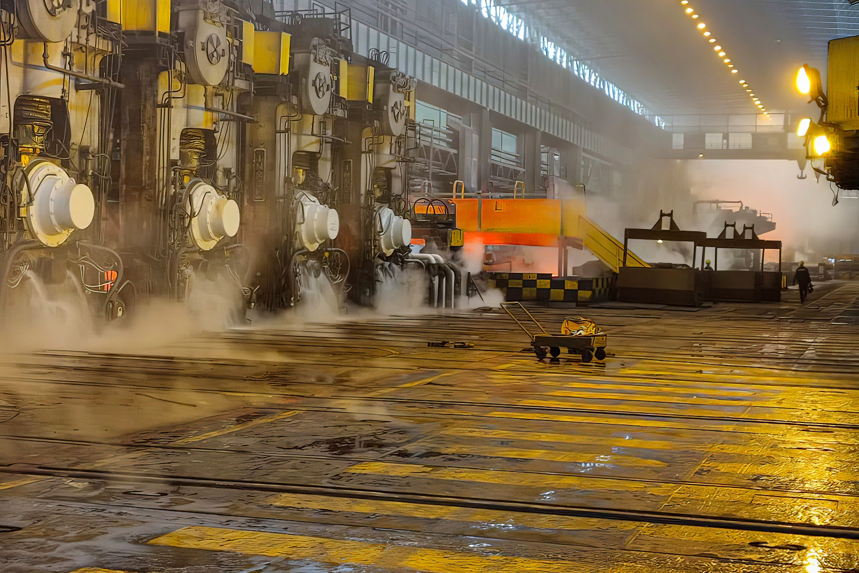 To address this issue, the University of Tehran research team held nearly 300 in-person sessions within the complex to explain the concept, applications, and advantages of GIS. Following this organizational awareness-building, the project received notable support from senior management, paving the way for the definition of the second phase.
The second phase focused on operationalizing the identified requirements. The project is now on the verge of entering the implementation stage across dozens of Mobarakeh Steel units—from site planning and power distribution to fluid systems, transportation, environmental management, and Health, Safety, and Environment (HSE). Dr. Jelokhani Niaraki described the initiative as the first experience of deploying an integrated GIS platform within the country’s steel industry and expressed hope that it would become a model for other sectors.
He also reported that extensive international studies were conducted during the project. “We examined leading global steel producers as well as major industries in fields such as oil, gas, automotive, and petrochemicals to understand their GIS strategies and practices.” The outcome of these assessments was the development of a strategic roadmap for Mobarakeh Steel, outlining the trajectory for the system’s long-term evolution.
In the researcher’s view, the project has advanced the concept of GIS within the industrial complex to a level of maturity where its necessity is increasingly recognized. He described this progression as an example of demand formation within industry, adding, “Industries may initially lack a precise understanding of a technology, but once its functionalities become clear, the need emerges organically.”
To illustrate the system’s practical value, Dr. Jelokhani Niaraki offered a simple example: consider a scenario in which drilling must be carried out at a specific point within the plant. Without access to spatial data, the operation could damage electrical cables, fiber-optic lines, or underground infrastructure, resulting in substantial costs. GIS, however, automatically analyzes the data and provides alerts indicating where drilling is permitted or prohibited.
Beyond reducing unforeseen expenses, the system also plays a critical role in safety. For instance, it enables real-time visualization of personnel located in sensitive zones, helping prevent their proximity to hazardous equipment such as molten material transport machinery. Infrastructure management constitutes another key advantage. In situations such as oxygen pipeline leaks or power outages, rapid access to accurate maps facilitates the prompt identification of optimal points for flow isolation or repair activities. Additionally, the capability to document equipment status and receive alerts regarding failures or maintenance delays can significantly enhance operational productivity.
The project also encompasses environmental monitoring. Dr. Jelokhani Niaraki explained that satellite imagery is being used to continuously track the complex’s pollution levels—a method that offers high accuracy at a fraction of the cost associated with ground-based sensors. He noted that the study phase has now been completed and that the executive team is entering the system deployment stage. During this phase, spatial datasets for various units will be generated, and the platform will be implemented incrementally to enable operational use across multiple departments.
The professor underscored that the designed model represents a synthesis of globally applied technologies and domestic industrial requirements, providing a comprehensive framework not only for other steel producers but also for a wide range of industries. He predicted that the initiative would be scalable beyond the steel sector into areas such as energy, oil and gas, and transportation.
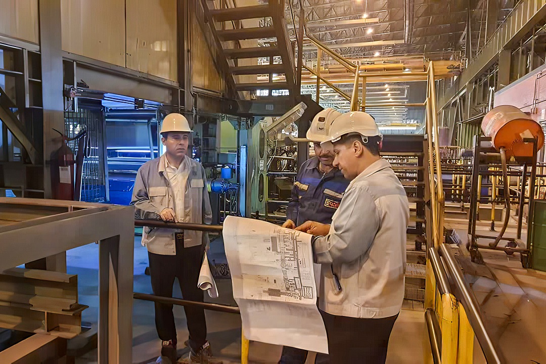 Dr. Jelokhani Niaraki—previously recognized as a “Distinguished Executor of Industry and Community Engagement”—commented on his professional philosophy: “I have always believed that knowledge must be transformed into products, plans, and actions that are usable by industry.” He noted that the Mobarakeh Steel project is among the largest initiatives he has pursued in this direction and is expected to continue evolving for at least the next decade.
He further highlighted ongoing collaboration with institutions such as the Ministry of Energy to advance spatial information systems, stressing that the country still faces a significant gap in industrial GIS—one that universities are well positioned to help bridge.
The design and deployment of the Mobarakeh Steel Geographic Information System can thus be regarded as a clear manifestation of a shift toward a problem-oriented university paradigm—an approach in which knowledge is not merely produced but is translated into a tool for informed decision-making, enhanced safety, and improved productivity in large-scale industries.
PARS MEDEQ company and the Mossalanejad Cultural Foundation are the sponsors of Vice-Presidency for Research and Technology News Desk
Your Comment :